All Te Araroa Posts
Damn, still nearly two weeks from Bluff. And a lot can happen in two weeks.
I suppose it had to happen sooner or later: the breaking of the Anti Wekaweka Squad. Technically the squad had already broken when Joe left us in St Arnaud, but we knew that was going to happen and we could prepare ourselves and keep the tears to a minimum. This was more sudden, and so it broke our hearts. The day we left Queenstown will forever be known as The Day We Lost Brianne.
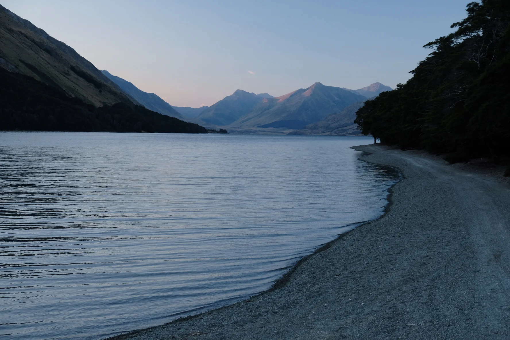
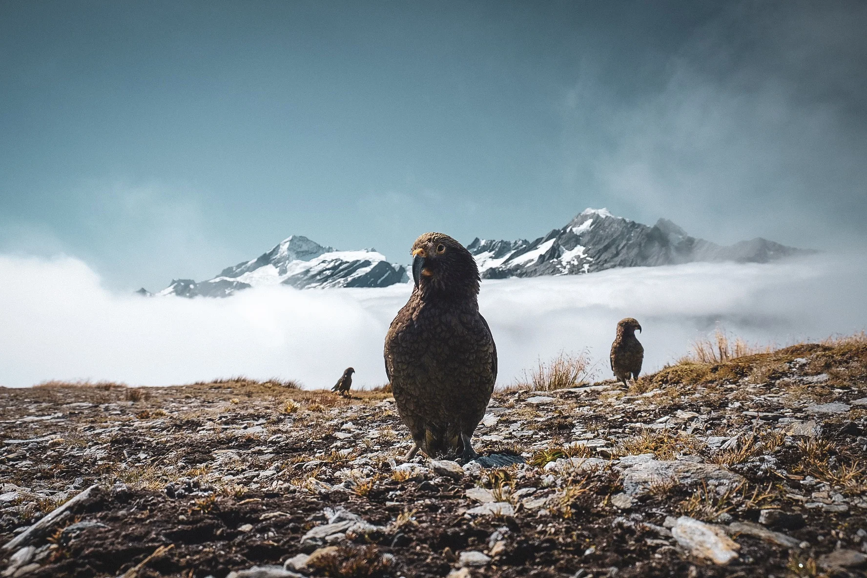
This part of our Te Araroa adventure was unique for not actually following Te Araroa at all. We went far off track, into the land of glaciers and tent-eating parrots that is Mount Aspiring National Park.
As the title implies, this section of the TA was a bit of a mixed bag. There were many good things, like epic views, steep climbs and rivers to bash through. However, we also had more than our fair share of gravel 4wd tracks, tussocks and bogs. And oats. So. Many. Oats.
After resting for a few days we were keen to get back on trail, although I was a bit nervous about the new boots. Had I broken them in enough by strolling from cafe to cafe in Christchurch and Geraldine? How soon until I got blisters on my little toes? Had I made a stupid choice in buying waterproof boots that would take forever to dry? Would the atrocious pink laces detract from my carefully constructed image of trashy hiker who tramped in her underwear? This section will answer those and many other important questions.
Warning: this blog post contains mentions of food that may be distressing to French people. You may want to hold someone’s hand, huddle up in a security blanket, and/or munch on a baguette to make sure you reach the end without suffering permanent psychological damage. All good? Allons-y!
In which our hiking heroes trip on smooth concrete paths, get eaten by sandflies, fall into rivers and trip over treeroots. It’s a miracle we’re still alive...
A whole bubble of TA hikers was piling up in St Arnaud, and we realised that we would probably be hiking in a much bigger group and sleep in busier huts during the next section. Sadly, none of these other hikers would be Joe. He had a few more days in NZ before he had to go back home. We did our very best to convince him to stay with the group but the school where he was teaching apparently couldn’t spare him for so long. After breakfast consisting of three croissants, a bowl of muesli and not a single oat, the Anti Wekaweka Squad said goodbye to one of its founding members, and we set off with Brianne and Yerin.
As Kiwis would say, our packs were “heavy as”. We had 10-11 days of food. And not just the bare minimum needed to survive, but plenty of solid meals and delicious snacks. I hate being hungry while hiking. And since we are constantly hungry, it means we carry enough to feed a small village for a year. It would probably take us 8 days to get through the Richmond Ranges but there are sections that involve river crossings and we had heard horror stories of people getting stuck in a hut for four days while waiting out rainstorms until the rivers were low enough to cross. The current weather forecast: heatwave with zero chance of rain. At least one of the huts was out of water. Great.
The “one to go” part of “One island down, one to go!” began to sink in on our last day on the North Island. We said goodbye to Sonia and Isobel in the morning, and Richard gave us a lift to the ferry terminal. Despite our extreme resupply, the packs were fairly light because the majority of the snacks were being shipped across to the south in boxes, while we were only carrying food for the first few days, enough for the Queen Charlotte track.
After the Tararuas, the North Island was almost done. Almost, but not quite. We still had one big hill to climb plus some walking along the coast to do. The North Island did not want to let us go easily, so it threw everything it had at us: mud, roads and beaches, plus some interesting weather.
At some point in time, the Te Araroa trust must have decided that spending nearly a week dozing on a canoe would make hikers lazy and complacent and in need of a rude awakening. So they planned the stretch from Whanganui to Palmerston North: a good 100 km slog on roads, including a day on State Highway 3. Nice try, TA trust, but we are too smart for you! We hitchhiked. The trailnotes did not inspire any confidence whatsoever that we would have a good time on this stretch, and I did not want to destroy my feet on the roads (the ankle still twinges a bit every now and then).
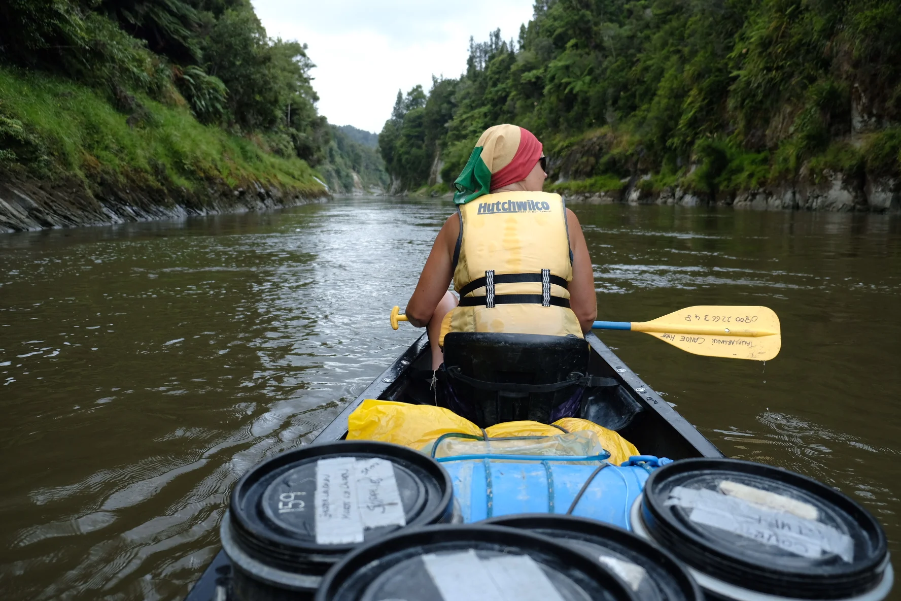
The river: the final frontier. These are the voyages of the Canoeship Enterprise. Its six day mission: to explore strange new rapids, to seek out new sandflies and new campsites. To boldly capsize where no canoe has capsized before.
(Cue clunky 60s intro music)
This blog post will not involve hiking in any way. Instead, it deals with new fashions on the TA, in particular hairstyles.
A brief summary: I no longer have hair.
The story so far:
Our intrepid heroes have faced mud, sand, rain, killer cows and hiker’s hunger. Now, after a daring traverse of the thorny slopes of the Forest of Death, they are huddled in their tent. They’ve got a pack full of snacks, it’s dark and they’re nursing a swollen ankle.
After a rest day in Hamilton, we were clean, fed and rested. So what could possibly go wrong on the next section? As it turns out, quite a bit!
From Auckland, Te Araroa used to head southeast towards the Hunua ranges. Unfortunately, this section is closed due to storm damage and kauri dieback disease. This year, the trail heads towards the airport and then south. State highway 1 is never far away. Auckland is a massive sprawling city, so this part of the hike involves a lot of pavements and roads.
A short summary of this section of the TA: departure from Waipu Cove (clean, and full of food), followed by a long day on the beach, a muddy forest with good food at the end of it, some alternative ways to wash, a bit of roadwalking, and finally a town with food. Remind you of anything? It was like doing a mini-TA...
When I was about twelve, I went on a school trip to an island where we camped and collected shells and whatnot. The school sent this infoletter to all parents which said “Magerøya is an island that is surrounded by water on all sides.” Well, duh.
Jasper bought his trailrunners from a shop called “Mud, sweat and trails” which is also a pretty good description of this second part of the tramp. So. Much. Mud.
For some reason we thought walking 3000 km along the Te Araroa trail would be a good way to spend the next five months or so. I have no idea why. Right now, my feet hurt and my calves are sore. Still, it’s worth it. Hiking is fun! Although we should probably call it tramping now that we are in NZ.
All GR5 posts
Almost there! What better way to start the final day than to go in the wrong direction? We followed red and white markers out of Aspremont but that turned out to be the GR51. Needless to say, the GR51 does not go to Nice but instead wanders off towards the west without actually reaching the Mediterranean until Cannes. Thank you, friendly French woman who ran after us and pointed out the GR5!
The last long day of the GR5! The hiking was much like the previous day’s second section: dry, rocky landscape with well-maintained paths. And it was horrendously hot. On leaving Utelle, we passed a small chapel (Chapelle St Antoine) where there is a button that starts the chant of the month. When we were there it was apparently “Silence is golden”, set to the music of 4’33”
After a sleepless night (curse you festival!) we found that our clothes hadn’t really dried either. It wasn’t just the rain; they were engrained with three weeks’ worth of sweat. Or, as we so eloquently put it: “saturated with the essence of eeeeergh…” We even developed a new punctuation mark for this, the “accent yuch!” which looks like a tilde ~ but tilted 90 degrees so it’s vertical. It needs to be put over ever “e” in the word “eeeeergh” and is used to indicate stinkiness and disgust in general.
The first of three long days. It started with a very long, very gradual descent. First around the alpages of Refuge the Longon, taking care not to let the dogs follow us. A sign at the refuge informed us that if we took the dogs, we might as well take the cows, too, but I hate cows so the dogs had to stay put. We were definitely out of the high mountains though. Most of the day we walked through the forest or along broad tracks between villages. The first of these villages was Roure, which clings to the hillside overlooking the Vallée de Tinée.
We left Roya early to escape the hordes of flies. We were definitely fitter at this point; the 1000 m climb felt a lot shorter and easier than it did at the start. We quickly left the forest behind and climbed further up into the valley beneath some dramatic cliffs with vultures hovering overhead.
Well, that was our last night camping! Of course there was a thunderstorm during the night so we had to wait for the tent to dry. Once it was completely 100% dry, we packed it up together with the sleeping bag, mats and other camping gear and dropped it off at the post office. We’d had a look at the map and realised there would be no further campsites.
The GR5 guidebook suggests hiking from Bousieyas to Auron in one day, and on towards Refuge de Longon the next day. However, this would mean two fairly long stages (26 and 31 km). We decided to split it in three (the alternative suggested by the guidebook) and end the first day in St. Étienne de Tinée. This meant a very easy day for us, so we started out on sandals again.
I woke up on the cold hard ground because all the air had gone out of my sleeping pad. It was the middle of the night but Jasper must’ve noticed me being awake because he asked what was going on.
A long day with a boring start. The first 11 km(!) are along the asphalt road. They have actually made GR5 paths a short distance from the road near the river, but we kept losing this path so eventually we gave up and just followed the road instead. It’s not a busy road and the views are good. Near the end of the roadwalking the river runs through a dramatic gorge crossed by a stone bridge, Le Pont Châtelet. After crossing the bridge we followed the GR5 which luckily left the road, and began our climb up through the forest to reach Fouillouse.
Apparently we are very noisy campers (or maybe it’s the fact that we have “Stayin’ alive” as our alarm clock). We packed up our gear early in the morning and Jasper went off to the bakery to buy bread. When he came back our unfriendly neighbour stuck his head out of the tent, glared at us and muttered ominously in French to person or persons unknown inside the tent, of which we just about caught the angry words “sept heures trente”. He then asked us if we were going to stay long. The whole exchange was just slightly too aggressive to be called passive aggressive. Besides, in what country is seven-thirty considered early for hikers? This was a hikers’ campsite, after all.
Breakfast was pains aux raisins in the morning sun! We said goodbye to our friendly neighbours and headed off on another longish GR5 day. There was a bit of road-walking at first, but most of the first stretch to Château-Queyras was along beautiful forest paths. We were both pleasantly surprised by the Queyras. Despite the wild mountains and rock formations the landscape is very green and pretty. Kind of like a Midsomer Murders episode but with mountains instead of murder. Lac de Roue was a good example of this.
“Rest days are for the weak,” we said to ourselves as we struggled to walk down the stairs of our hotel. Actually, it wasn’t that bad. Yes, we were sore. Yes, our feet still hurt. But we were going to continue walking because that’s what we set out to do.
It was so cold. We spent most of the night shivering under our single sleeping bag blanket (hurray for emergency blankets!). When we checked the inside of the tent in the morning we first thought it was completely dry. A second later we realised there was plenty of condensation but it had frozen.
This was our last short day for a while! We started off the day nicely by going in the wrong direction. For some reason we thought we had to double back for a bit (despite signposts, guidebook and map telling us not to; it must’ve been the wine). Having finally located the right path (it goes up past the rifugio) we climbed up through the woods to Col des Thures, where there is a nice little lake and some great views of the surrounding mountains.
There was only one other person in the dorm but of course this was a snorer. After the previous day’s invigorating climb we felt like we could hardly stand, let alone climb the almost 1000 m up to the Col de la Vallée Étroite. This was all in the mind though, because we actually made very good time. The path was more like a dirt road or 4wd track most of the way, but there were some good views of Mont Thabor with the Refuge de Mont Thabor just beneath it. We’d originally planned to stay there that night but it when we called them they said they were fully booked for a week, so we had to continue on to the next refuge. Hence our decision to continue on to Valfréjus on day 5.
We were up bright and early! Refuge breakfasts are usually small and Péclet-Polset’s was no exception. Perhaps they do it so people don’t linger. Anyway, the day started with a climb to the highest point on the GR55, the 2796 m Col de Chavière. The last part of the climb was across snow fields and over boulders with some scree at the very end.
Bad news first: lots of condensation in the tent, but fortunately all our stuff was either inside the packs or inside drysacks. We had a towel so we could dry the inside of the tent and try to prevent water from dripping onto us and our sleeping pads.
Blue sky! The refuge is in a deep valley so there was not sun yet when we got up. Frost on the grass and snow on the mountains! Glorious. And for some reason we got chocolate chip cookies for breakfast. Clearly, today was going to be a Good Day.
This was probably the coldest, rainiest day on the entire GR5. During breakfast we could hardly see the Col du Palet. Usually we hike in shorts no matter the weather but that just wasn’t possible. So we wore longjohns under our shorts and rain trousers and gaiters over them. Plus gloves and rainjackets. After a short climb to the Col there was a boring descent into Val Claret, a ghastly ski resort. We waited there a bit to see if the weather cleared up and started hiking again once a nice big blue patch of sky appeared. Unfortunately this disappeared less than ten minutes later and we were once again hiking in the rain.
We woke up after spending our first night ever in our new lightweight tent. It’s still standing and there’s hardly any condensation (it’s a single-walled tent). So far, so good. When packing up our gear we quickly realised we may have brought too much stuff but in the end it all fit in our packs. The GR5 runs right past the campsite, so it’s onwards and upwards!
France has a brilliant network of long-distance paths, called Grande Randonnée (GR). In 2016 we hiked most of the GR5. OK, so technically, “most of” is a bit optimistic, because officially the GR5 starts in the Netherlands. However, the French Alpine section is probably the busiest and most famous. It starts in St. Gingolph at Lake Geneva and then crosses the French Alps to end up in Nice on the Mediterranean.
All Adlerweg posts
The Adlerweg (Eagle's way) is a 300 km long hike traversing the length of Tyrol in Austria. It is a relatively new long-distance hike starting in Sankt Johann in Tyrol, and finishing at the Arlberg at the western border between Tyrol and Vorarlberg. Marte and I walked the length of the trail in the summer of 2017.



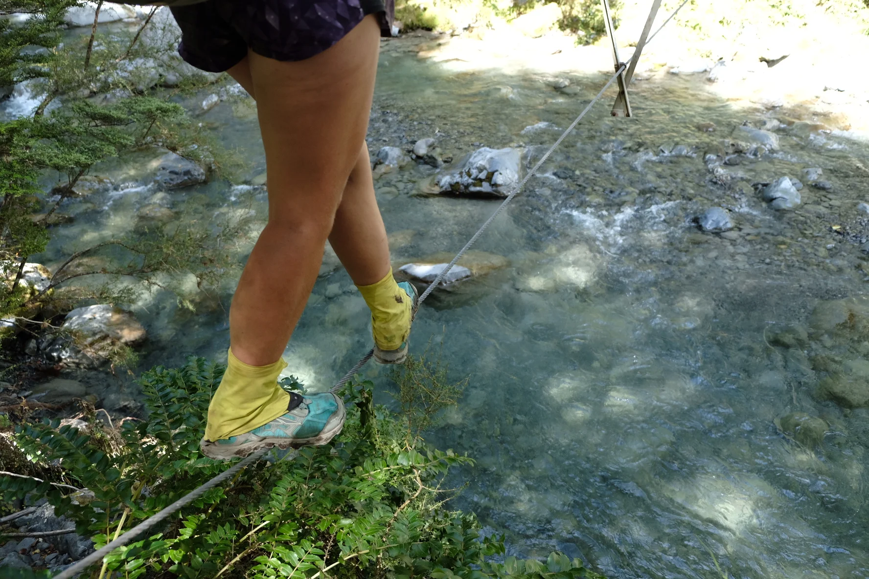

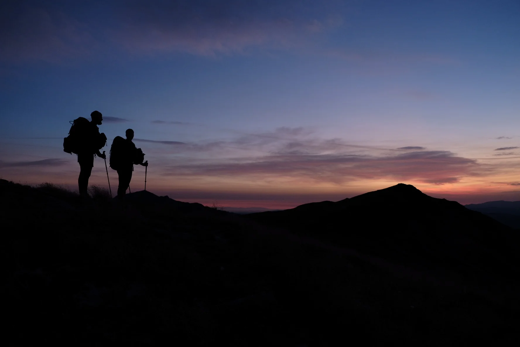
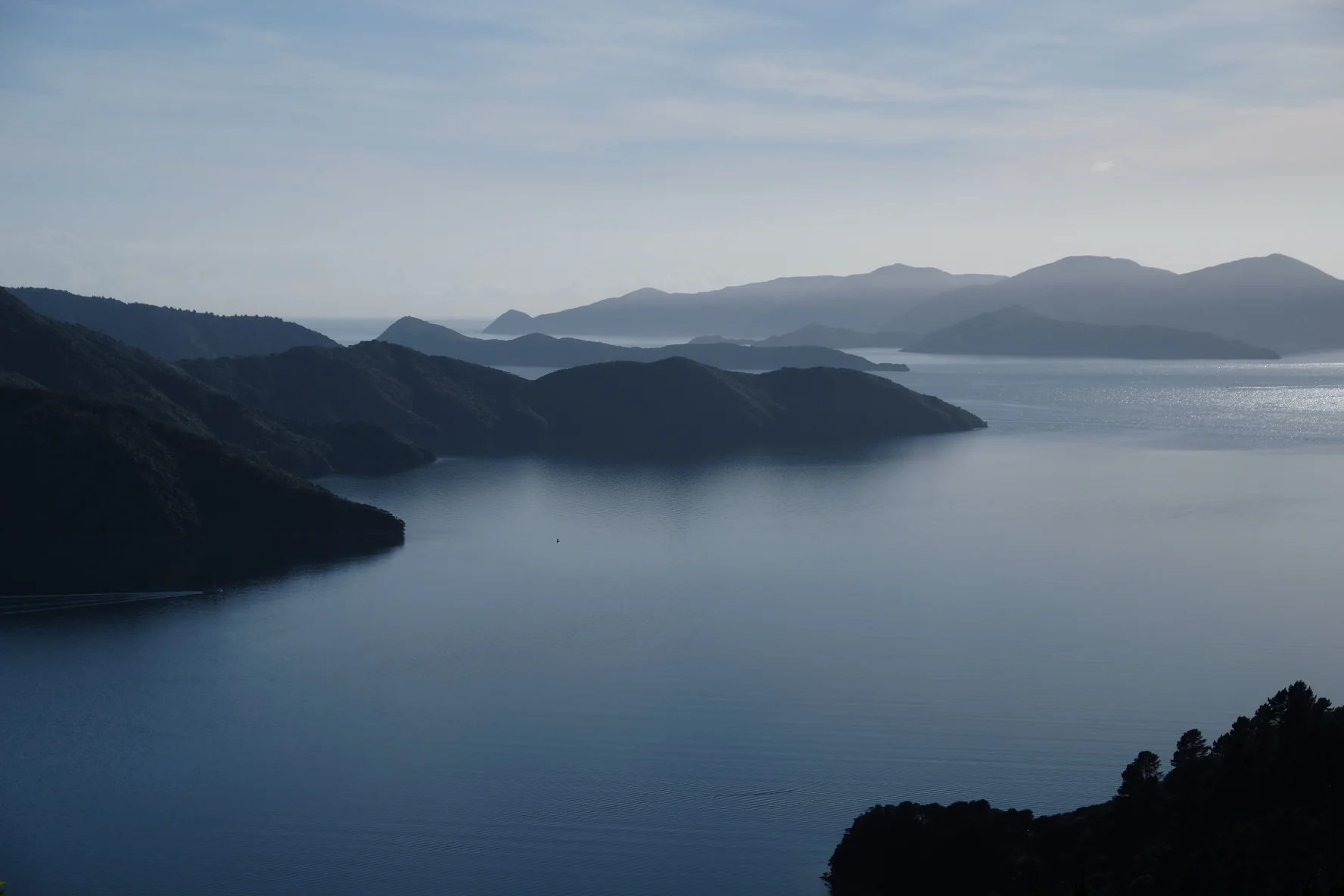

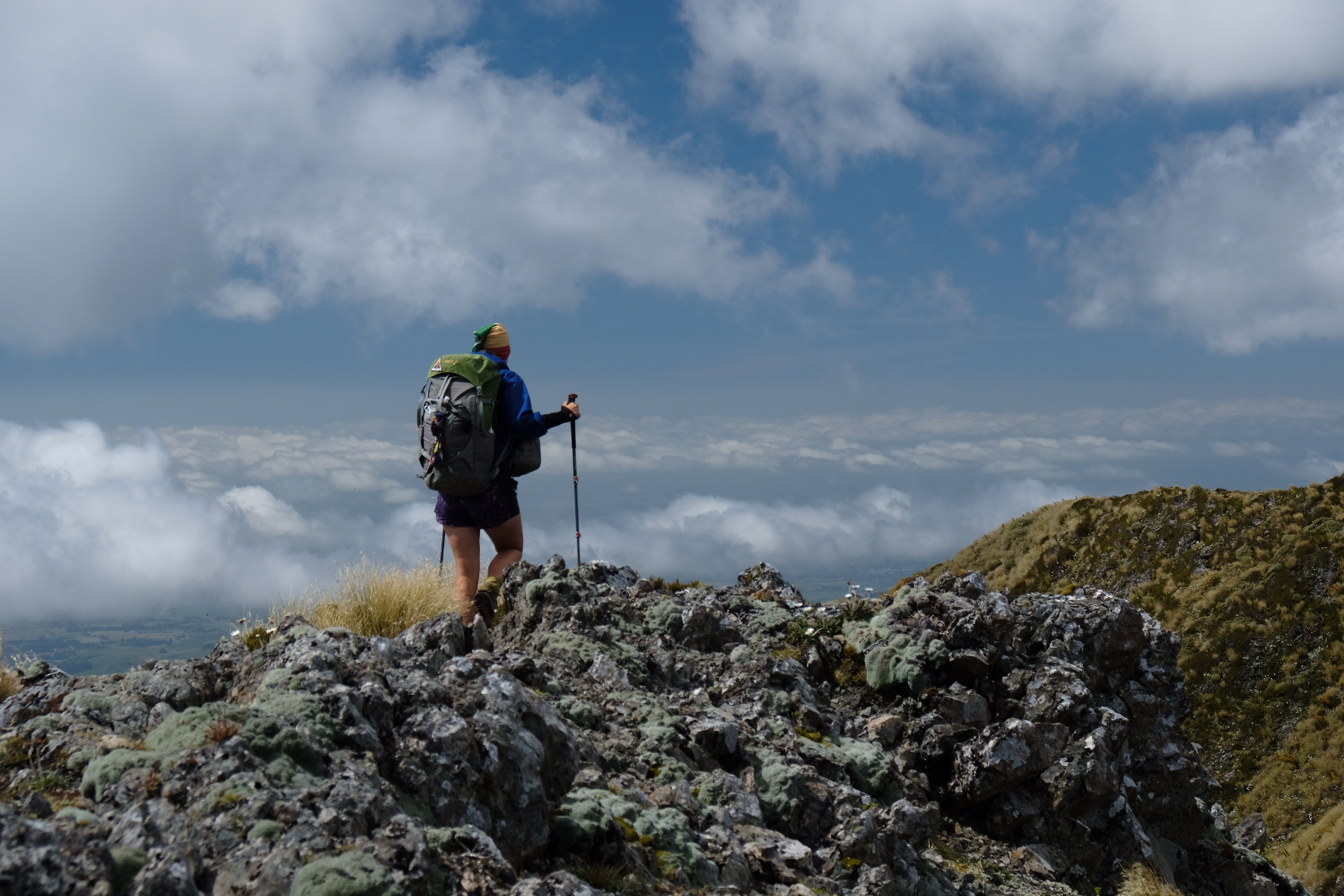

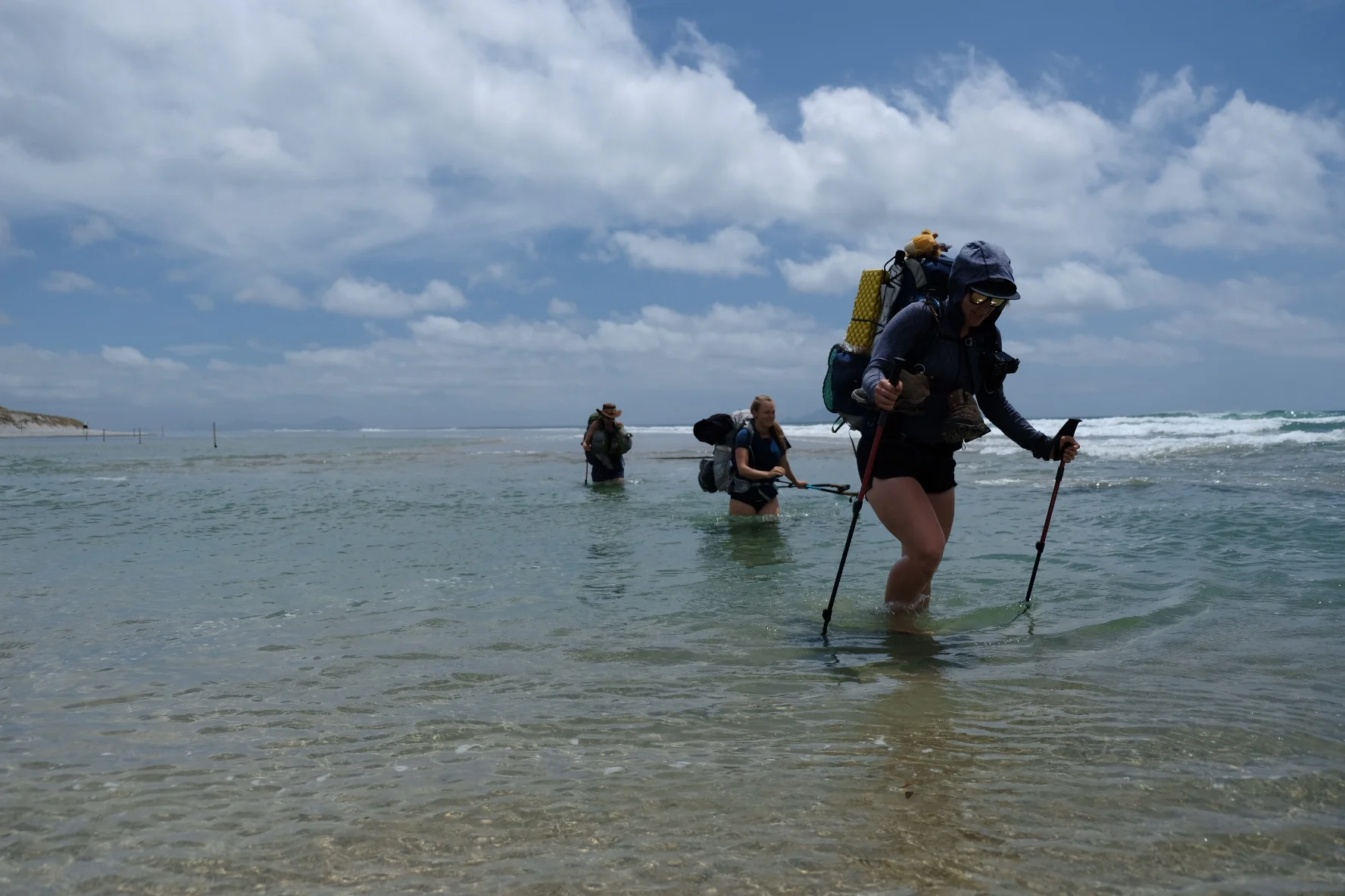
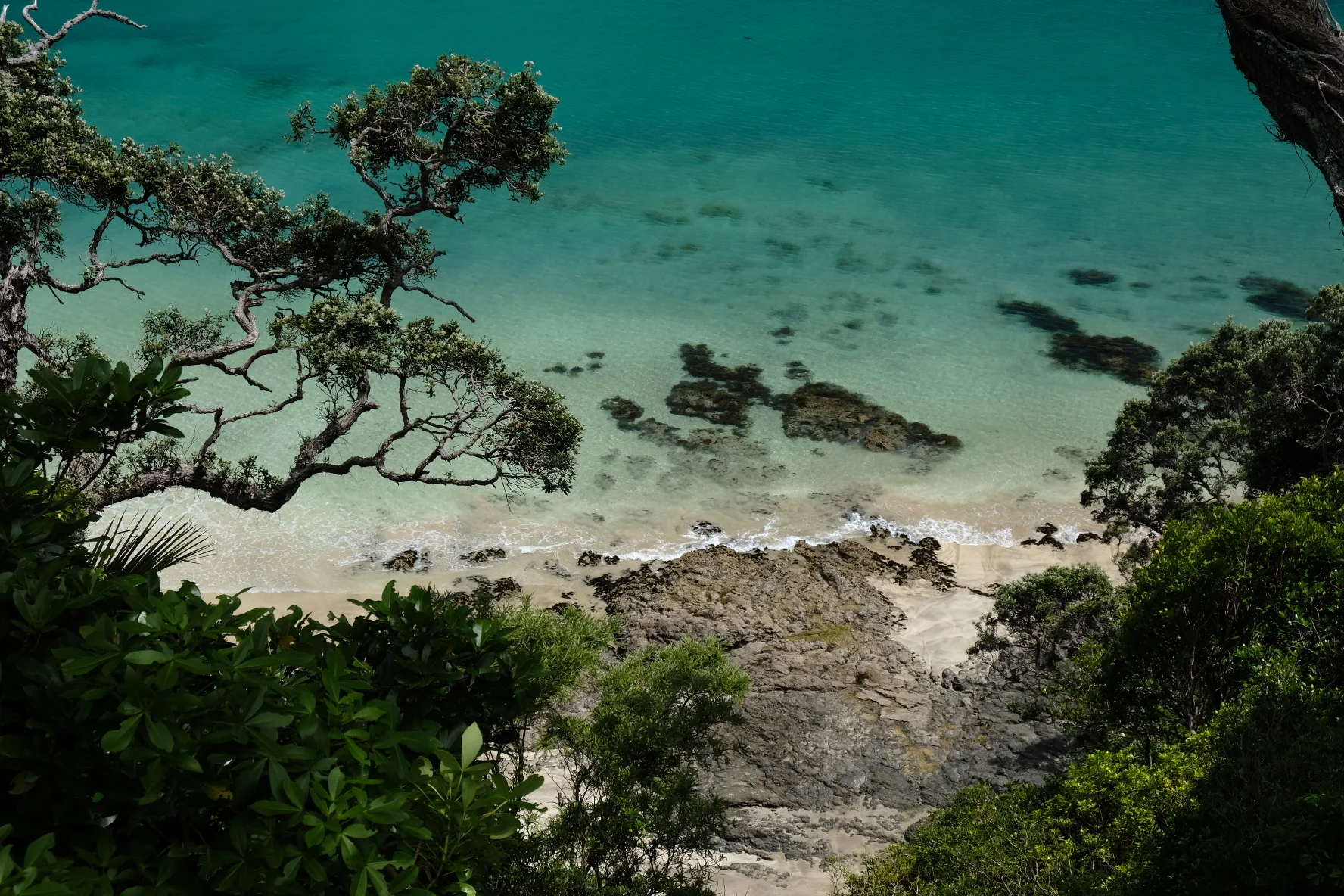
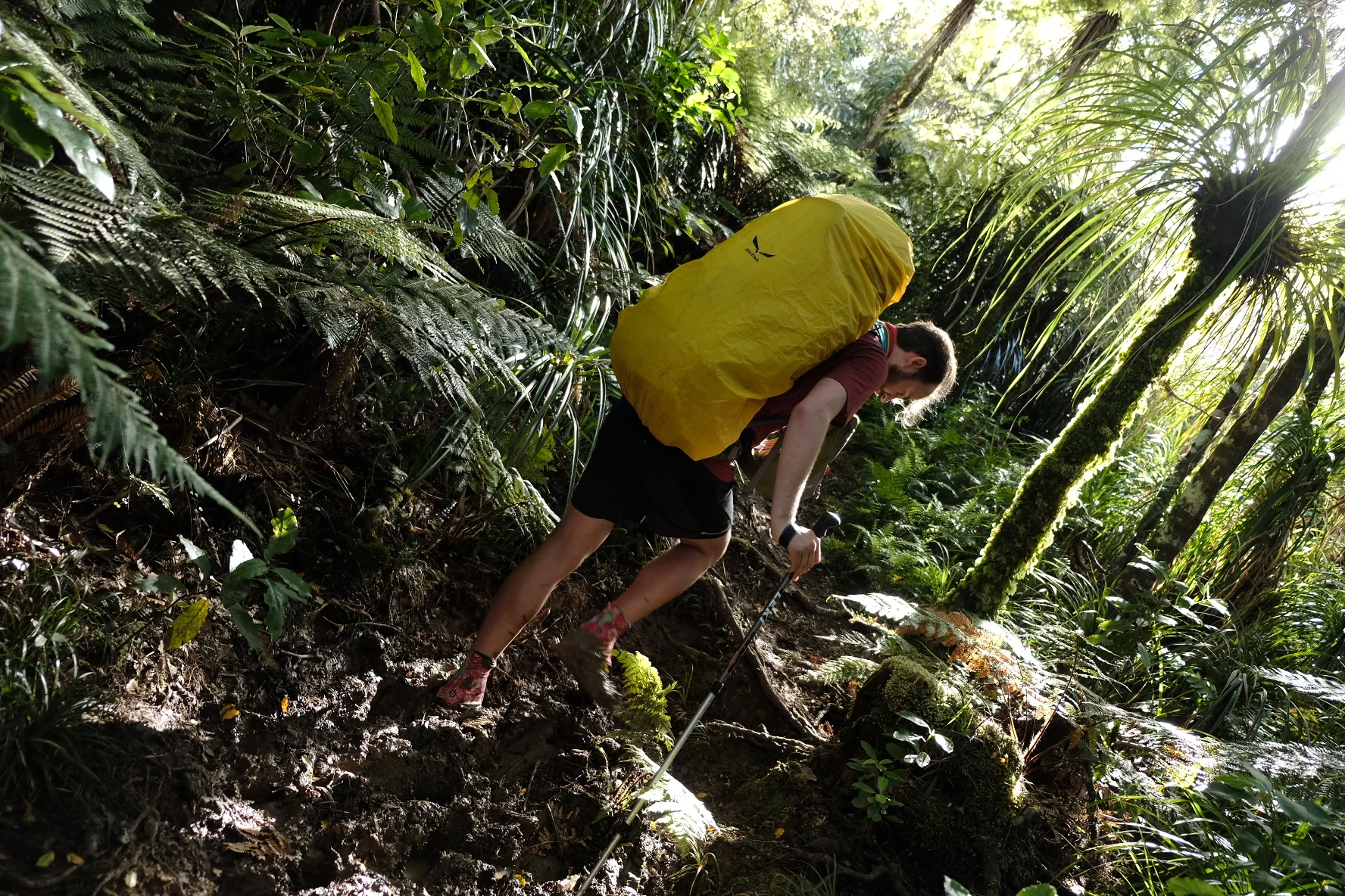
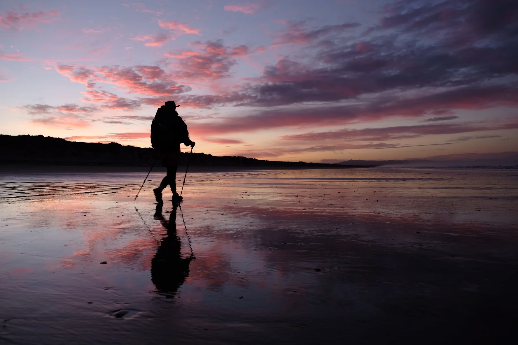


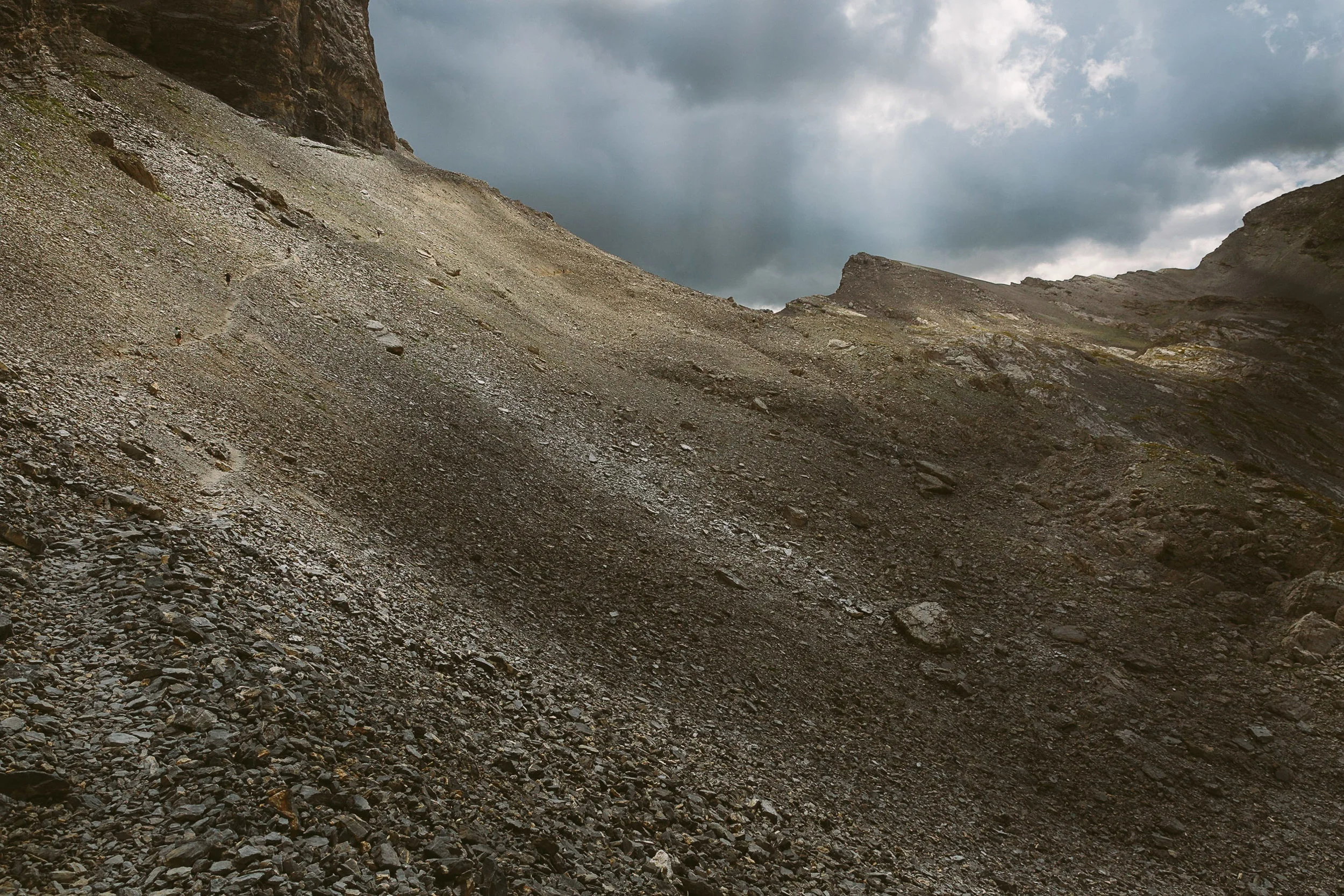


Disintegrating backpacks, sore arches, painful heels, a pulled muscle. Will we make it to Bluff? Time for the final push!